BMKG detects hot spots in West Fatuleu of Kupang District
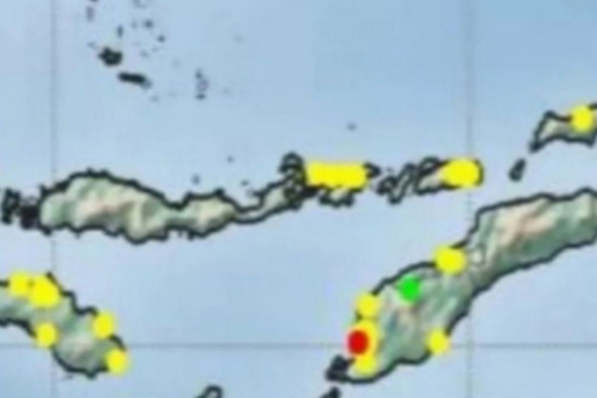
...The hotspots were detected on August 7-8, 2021 with a confidence level of above 80 percent
Kupang (ANTARA) - El Tari Kupang Meteorological Station of Meteorology, Climatology and Geophysics Agency (BMKG) detected two hot spots in West Fatuleu Sub-district of Kupang District, Timor Island, East Nusa Tenggara.
"The hotspots were detected on August 7-8, 2021 with a confidence level of above 80 percent," said Head of the El Tari Kupang Meteorological Station Agung Sudiono Abadi here on Sunday.
He explained that previously the station also detected two hotspots in West Fatuleu on August 1-2 and one hotspot in Amabi Oefeto Sub-district, Kupang District on July 18-19.
The hotspot distribution map was obtained from an analysis conducted by the National Institute of Aeronautics and Space (LAPAN) using the Terra, Aqua, Suomi NPP and NOAA20 satellites.
The satellites detected a hot temperature anomaly in an area of 1 square kilometer. And it will observe a location on the earth's surface 2 to 4 times per day.
But in cloud-covered areas, hotspots cannot be detected, he said.
The satellite image only assesses reflexivity and ambient temperature anomalies which are interpreted as hotspots.
"We cannot confirm the cause of the anomaly," he said.
Sudiono added that drought and strong winds were also indirect causes of the hotspots.
Baca juga: BMKG imbau warga NTT waspadai angin kencang
Baca juga: BMKG sebut 11 daerah di NTT alami hari tanpa hujan lebih dari 61 hari
Pewarta : Aloysius Lewokeda, Katriana
Editor:
Bernadus Tokan
COPYRIGHT © ANTARA 2026


