5.2-magnitude earthquake hits Rote Island

An earthquake measuring 5.2 on the Richter Scale jolted Rote Island on Tuesday (1/1) at 11:25 p.m. Western Indonesian Standard Time (WIB).
Kupang, E Nusa Tenggara (ANTARA News NTT) - An earthquake measuring 5.2 on the Richter Scale jolted Rote Island on Tuesday (1/1) at 11:25 p.m. Western Indonesian Standard Time (WIB).
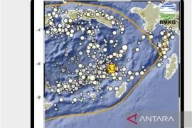
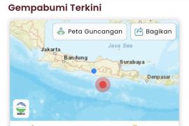
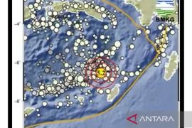
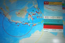
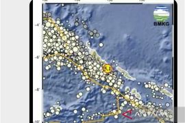
The quake`s epicenter was located at 9.92 degree southern latitude and 122.70 degree eastern longitude, some 102 km northwest of Rote Ndao District, and at a depth of 81 km, the Meteorology, Climatology and Geophysics Agency (BMKG) said on its website, Wednesday.
The tremor did not have potential to trigger a tsunami.
Indonesia is one of the most disaster-prone countries in the world, as it is located on the "Pacific Ring of Fire" where a large number of volcanoes and earthquakes occur.
Pewarta : Laurensius Molan
Editor:
Laurensius Molan
COPYRIGHT © ANTARA 2026

