Kupang, E Nusa Tenggara (Antara NTT) - The Central Government has officially called the island of Flores in East Nusa Tenggara a Geothermal Island for its potential geothermal reserves.
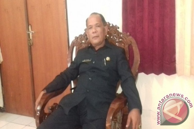
"The new name was contained in a decision of the Energy and Mineral Resources (ESDM) Minister No. 2268 this year determining the island of Flores as Geothermal Island," head of the Mining and Energy Office of East Nusa Tenggara Boni Marasina told Antara news agency here on Friday.
"I just returned from Jakarta to pick up the official letter from the ESDM Minister Ignasius Jonan. I have not given that letter to the Governor as he was not out of the city yet," Boni said.
He said there was also a road map on Flores as a Geothermal island, adding the road map was prepared by ARUP, an international consultant from Britain in cooperation with the World Wide Fund (WWF).
The road map was a result of cooperation on strategic study on geothermal signed on 19 Aug. 2015 between the Indonesian and British governments.
Boni said geothermal reserves are found in 16 locations on the Flores island including Waisano, Ulumbu, Wai Pesi, Gou-Inelika, Mengeruda, Mataloko, Komandaru, Ndetusoko, Sokoria, Jopu, lesugolo, Oka Ile Ange, Atedai, Bukapiting, Roma-Ujelewung and Oyang Barang.
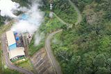
Until now only the Ulumbu and Mataloko reserves have been developed to generate power with a total installed capacity of 12.5 MW.
"The island of Flores has a potential reserve of 902 MW or 65 percent of geothermal reserves in all province of East Nusa Tenggara," he said.
He said Flores also has potential sea wave energy that could be developed in the strait of Gonzalu between Larantuka and the Adonara island in the regency of East Flores.
He said the decision to call Flores with a new name Geothermal island would have a follow up step to develop the geothermal reserves to produce power to contribute to the program of electrification of the region.


