

4.9 Magnitude Earthquake Jolts Lembata

An earthquake measuring 4.9 on the Richter Scale jolted Lembata and the surrounding areas in East Nusa Tenggara Province on Wednesday at 7:10 a.m. local time.
Kupang, E Nusa Tenggara (Antara NTT) - An earthquake measuring 4.9 on the Richter Scale jolted Lembata and the surrounding areas in East Nusa Tenggara Province on Wednesday at 7:10 a.m. local time.
The quake`s epicenter was located at 8.23 degrees southern latitude and 123.37 degrees eastern longitude, at a depth of 10 kilometers (km), some 29 km northwest of Lewoleba, Lembata, Hasanudin, head of the Kupang meteorology, geophysics, and climatology agency, noted.
The quake, rated as an MMI III-IV on the Modified Mercalli Intensity scale, was felt by the residents of Lembata.
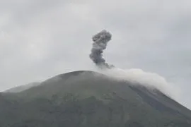
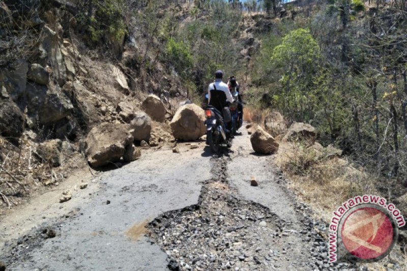
Since Sunday (Oct 8), Lembata has been hit by a series of tectonic earthquakes that damaged several buildings.
Residents of four villages located on the slopes of Mount Lewotolok have been evacuated to safer places in anticipation of stronger tremors.
Pewarta : Bernadus Tokan
Editor:
Laurensius Molan
COPYRIGHT © ANTARA 2026