Mt Lewotobi new eruption sends ash column 5,000 meters skyward
Kamis, 7 November 2024 14:22 WIB
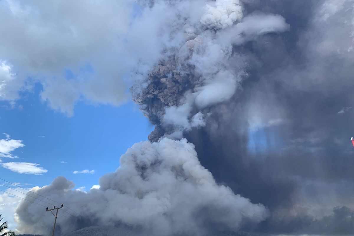
...The eruption was still ongoing when this report was made, Sorywutun confirmedKupang, E Nusa Tenggara (ANTARA) - Mount Lewotobi Laki-laki in East Flores, East Nusa Tenggara, erupted again on Thursday at 11:15 a.m. Central Indonesia Time (WITA), spewing volcanic ash up to five thousand meters high from its crater.
This was confirmed by a monitoring officer of Mount Lewotobi Laki-laki Yohanes Kolli Sorywutun in a report received here.
The eruption was monitored with a height of around 6,584 meters above sea level, while the ash column was seen leaning toward the Southwest, West, and Northwest directions.
The eruption was recorded on a seismograph with a maximum amplitude of 47.3 millimeters and a temporary duration of 24 minutes and five seconds.
The eruption also caused hot clouds at an amplitude of 47.3 millimeters.
"The eruption was still ongoing when this report was made," Sorywutun confirmed.
Eruption with the same ash column height also occurred at 10:48 a.m. WITA.
On account of the current conditions, the Geological Agency of the Ministry of Energy and Mineral Resources stated that the status of Mount Lewotobi Laki-laki is still in Level IV or Warning.
To this end, the local community and visitors are advised against conducting activities within a seven-kilometer radius of the peak.
The community is urged to remain calm and follow directions from the local government, as well as stay alert to the potential for rain-triggered cold lava floods in rivers originating at the peak of Mount Lewotobi Laki-laki.
Furthermore, people affected by ashfall are urged to wear a mask to avoid the negative impacts of the volcanic ash.
Baca juga: Refugee camps prepared for over 10 thousand victims of Mt. Lewotobi
Baca juga: Agency links change in color of Lake Kelimutu to volcanic activity
Pewarta : Kornelis Kaha, Raka Adji
Editor:
Bernadus Tokan
COPYRIGHT © ANTARA 2026


